


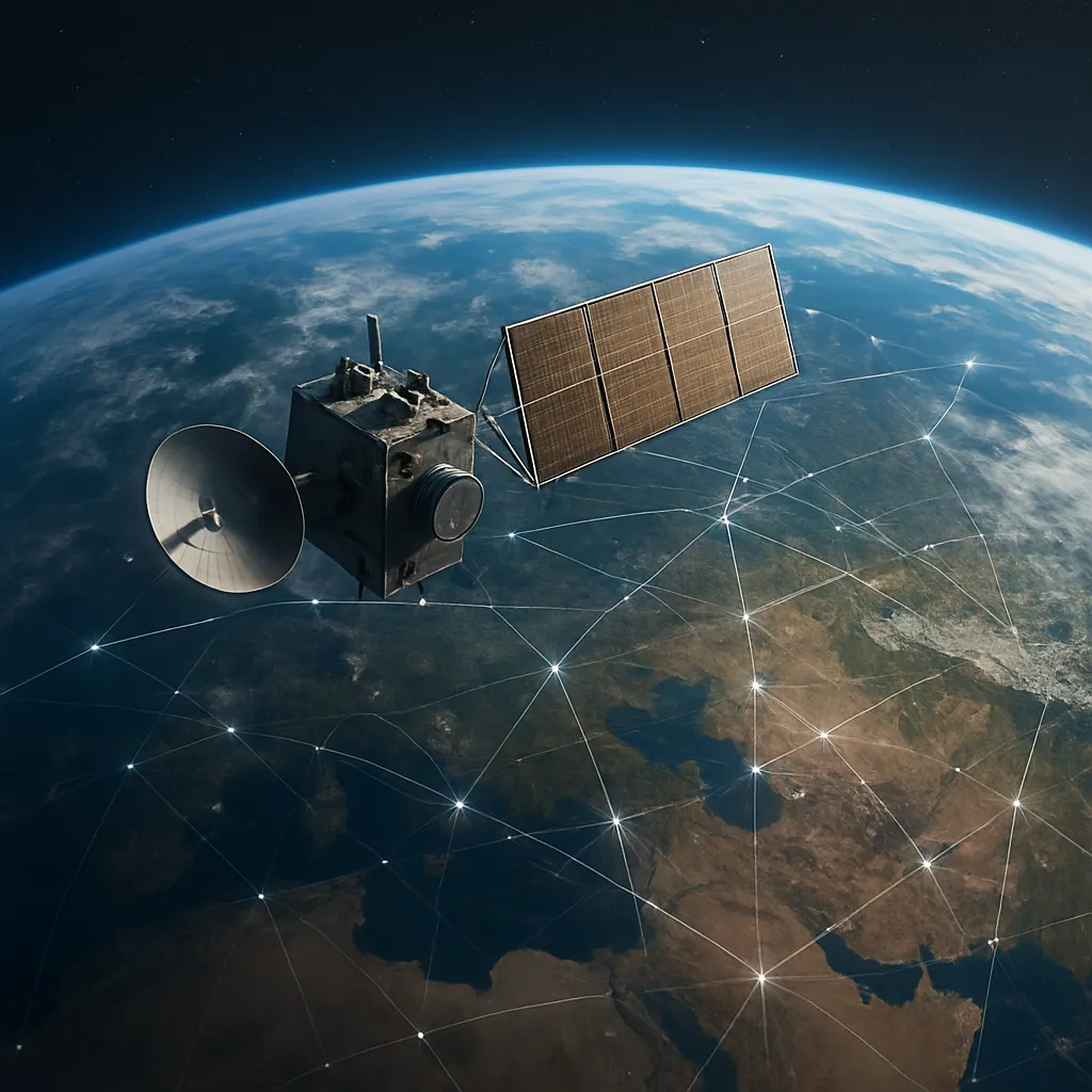
The Role of Space in Global Navigation Systems examines how humanity harnesses the cosmos to guide journeys, ensure precision, and foster connectivity. From the first signal sent by a single orbital transmitter to today’s complex constellation of dozens of satellites, the intricate dance above Earth underpins a vast array of civilian, commercial, and military applications. Understanding the architecture and challenges of these systems offers insight into our reliance on the technology overhead and points to the innovations shaping tomorrow’s navigation landscape.
Satellite Constellations and Architecture
At the heart of every global navigation system lies a network of satellites orbiting the planet. These spacecraft are carefully arranged in orbital planes to create a robust constellation that ensures consistent coverage and minimizes blind spots. Major systems include:
- GPS (United States): The first fully operational global navigation system, featuring 24 active satellites in medium Earth orbit (MEO).
- GLONASS (Russia): A comparable 24-satellite network providing global coverage with enhanced regional performance over high latitudes.
- Galileo (European Union): A civilian-focused system advancing accuracy and interoperability with existing constellations.
- BeiDou (China): A rapidly expanding network offering combined regional and global services.
Each satellite continuously broadcasts a unique code and precise orbital data. Receivers on the ground pick up signals from multiple satellites to determine their exact positioning through trilateration. The combination of signal travel time and known satellite coordinates allows calculation of three-dimensional location and precise timing.
Orbital Mechanics and Coverage
Operating at altitudes of approximately 20,000 km, navigation satellites experience slower orbital periods compared to low-Earth orbit (LEO) constellations. However, this altitude offers a balance between coverage and signal strength. With multiple orbital planes inclined relative to the equator, systems achieve global reach. The careful design ensures that at least four satellites are visible from any point on Earth at any time, which is the minimum needed for accurate 3D positioning plus clock correction.
Ground Control and Data Integrity
While spaceborne elements transmit signals, the reliability and integrity of the entire system depend on a network of ground stations. These facilities track satellites, upload navigational and clock correction data, and monitor system health. Key components include:
- Master Control Stations: Central hubs that process tracking data and generate navigation message ephemerides.
- Monitoring Stations: Worldwide networks of antennas measure signal quality and propagation delays caused by the ionosphere.
- Uplink Stations: Ground transmitters that send updated orbital parameters to satellites, ensuring constellations maintain accurate orbits.
Continuous synchronization of satellite clocks with ground-based atomic standards is vital. Even nanosecond discrepancies translate to meters of positioning error. Advances in atomic clock miniaturization for space deployment have significantly improved system performance.
Signal Structure and Multipath Mitigation
Modern navigation signals employ complex modulation schemes to enhance resistance against interference and improve civilian access. The introduction of multiple frequencies allows receivers to correct for atmospheric delays by comparing signals at different wavelengths. Ground-based augmentation systems (GBAS) and satellite-based augmentation systems (SBAS) further refine accuracy by broadcasting differential corrections to users in specific regions.
Applications and Impact on Daily Life
From guiding commercial airliners across oceans to enabling location-based smartphone apps, global navigation systems have become deeply integrated into daily operations. Prominent applications include:
- Aviation: Precision approach and landing guidance through augmentation networks.
- Maritime Navigation: Safe routing of vessels in congested ports and open seas.
- Land Transport: Traffic management, logistics optimization, and fleet tracking.
- Agriculture: Automated farming equipment using real-time kinematic (RTK) positioning for field tasks.
- Disaster Response: Search and rescue operations leveraging distress signals and coordinate broadcasting.
The proliferation of low-cost consumer devices has democratized access to high-precision location data, fostering innovation in ride-sharing, fitness tracking, and social networking services. However, the dependence on radio signals from space also exposes vulnerabilities to jamming, spoofing, and solar weather disturbances.
Security and Resilience
Military users rely on encrypted signals and anti-jamming techniques to secure navigational data. Civil authorities and service providers, meanwhile, are exploring complementary systems such as inertial measurement units (IMUs) and terrestrial networks to maintain continuity during GNSS outages. Research into quantum sensors and multi-constellation receivers promises enhanced resilience by combining inputs from GPS, Galileo, GLONASS, and BeiDou.
Challenges and Future Developments
As reliance on space-based navigation grows, so do the challenges of space debris, spectrum allocation, and satellite maintenance. Key areas of future focus include:
- Next-Generation Satellites: Incorporating more robust atomic clocks, inter-satellite links for autonomous orbit determination, and advanced signal structures.
- Space Traffic Management: Coordinating thousands of satellites, including smallsats and megaconstellations, to prevent collisions and interference.
- Integration with 5G Networks: Hybrid positioning techniques that blend terrestrial and space-based data to achieve indoor and urban canyon coverage.
- Space Weather Forecasting: Improved models of the ionosphere and magnetosphere to predict and mitigate signal degradation caused by solar storms.
Private companies are pushing boundaries with commercial GNSS offerings, while academic institutions develop algorithms to harness raw signal measurements for centimeter-level accuracy. The synergy between public agencies and the private sector is driving down costs and expanding capabilities.
Innovations in User Equipment
Advances in semiconductor design have enabled multi-frequency, multi-constellation receivers in handheld devices. Coupled with sophisticated error-correction algorithms, these units deliver unprecedented accuracy for geolocation tasks. Emerging platforms, such as unmanned aerial vehicles (UAVs) and autonomous vehicles, demand ultra-reliable navigation to operate safely without human intervention.
Conclusion of Exploration
Space has transformed from a frontier of exploration into an indispensable utility for global navigation. The interplay of spacecraft, ground infrastructure, and user devices creates a seamless web guiding movements across the planet. As systems evolve with stronger signals, greater resilience, and tighter integration with terrestrial networks, the role of space in navigation will only deepen, enabling applications we can scarcely imagine today.